 |
| Map of Port Klang |
Port Klang is the main port in the state of Selangor and also serves as the port for Klang Valley, the most developed region which includes Kuala Lumpur, the capital of Malaysia - located about 53km from Port Klang. Port Klang & Klang are very popular for food especially seafood. Coming from Kuala Lumpur, you can take a KTM commuter train from KL Sentral to KTM Port Klang train station - the last stop. South Port Ferry Terminal is a just 1-2 minutes walk from the Port Klang train station !
There are 3 major port facilities in Port Klang ie North Port, South Port & the newly developed West Port. The high speed ferry service from Port Klang to Pulau Ketam is located in South Port Ferry Terminal. Taking the ferry ride from Port Klang to Pulau Ketam, you could catch a glimpse of the North Port state-of-art container handling facilities & container ships awaiting for cargoes to unload on to the ships etc.
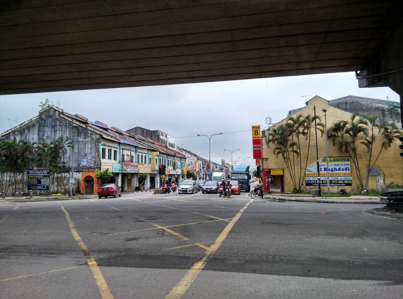
Port Klang town is small & many of the pre-war buildings still exist !
1) Port Klang KTM Train Station


2) Port Klang Town


3) South Port Ferry Terminal, Port Klang - buy your ferry tickets from the counters - Rm15 (normal ferry) or Rm18 (Alibaba Express) for adults (return). First departure from South Port is 08.25 to Pulau Ketam & 10.15 for Sungei Lima. Last departure from Pulau Ketam is 18.30. Pay Rm5 (one way) and hop in to a speed boat plying between Sungei Lima & Pulau Ketam; normal speed boat coast Rm1 but stick to a schedule so if you are early in waiting at the Sungei Lima jetty. Just sit and enjoy the sea breeze !


4) Komplek Dato Shaari Jihin, Port Klang - ferry links to Dumai, Indonesia; Seaview Restaurant, popular to the locals & urbanites operates here.


5) Hindu Temple, Port Klang - near the Port Klang train station

6) Marine Department, Port Klang

7) Port Klang Bus Terminal


No comments:
Post a Comment